Another section of the family tour of ancient sites in West Penwith. It’s an easy walk from the road by Grumbla up to the Iron Age (800 BC – 410 AD) hill fort of Caer Bran. It’s not as easy making out the described two concentric lines of ramparts and their ditches and the interior hut circles. Aside from the vegetation, a footpath track now cuts straight across the hill fort and over the centuries some of the stones from the ramparts were knocked about or taken. But there’s enough visible to get some sense for its size (430 feet diameter) and the grand 360 views. Caer Bran (Fort Crow) overlooked the settlements of Carn Euny and Goldherring as well as hut circles on the nearby slopes.


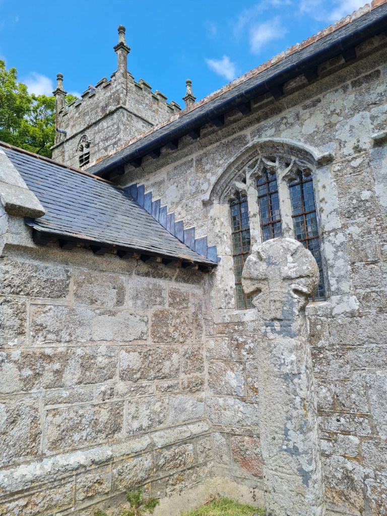
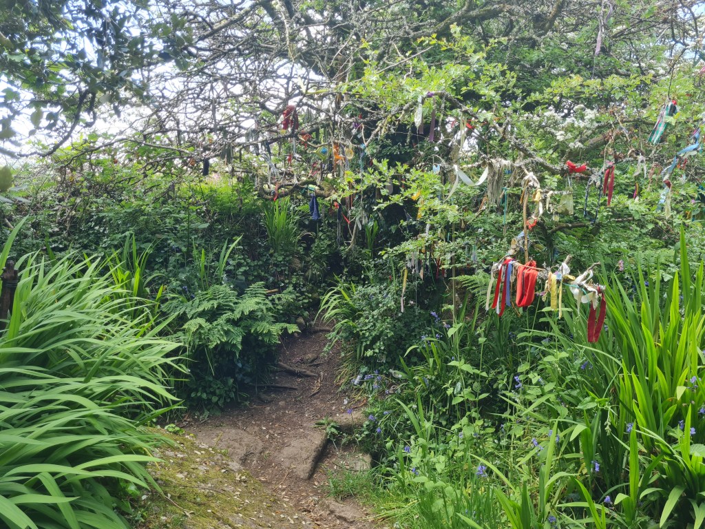
From Caer Bran we walked down through fields and woods to the village of Sancreed, where some fine ancient Celtic Crosses (9th C) sit in the churchyard of the St. Creden’s (its current structure dating from 15th C). Sancreed also has a holy well dating from pre-Christian times and tiny ruined Chapel of St. Euny. The well continues to be visited by people leaving clouties (traditionally bits of rags torn from clothing near the injury or disease) to seek help – this well is reputed to have the virtue of healing most children’s diseases. (information sources: CASPN website, Craig Weathershill’s Belerion)